
Records Behind Sheboygan Neighbors
No public roll names every person on a Sheboygan block. The strongest starting point is the land, not a claimed household list. The county parcel layer draws each lot and identifies the recorded tax owner, site address, municipality, mailing fields, acreage, values, and tax year. The tax portal adds bills and parcel details. MyVote answers election questions for one supplied name or address. City neighborhood pages describe civic areas and contacts, while older directories at Mead Public Library give a dated view of past address associations.
| Block source | What it can establish | Public route |
|---|---|---|
| County parcel GIS | Lot shape, site address, municipality, owner fields, and adjacent parcels | Free viewer and public feature layer |
| Land Records and Tax Web Portal | Parcel, listed owner, tax mailing details, and tax bills | Free public portal |
| Wisconsin MyVote | Registration or polling information for details the user supplies | Online name or address workflow |
| City and Neighborhood Pride pages | Recognized area boundaries, dates, and public association contacts | Public web directories |
| Mead historical collections | Dated directory, newspaper, map, and census evidence | Online and second-floor research desk |
The wording matters. A tax owner is the person or entity listed for the parcel, not proof of who sleeps there. A separate postal address may only show where the bill goes. MyVote does not reveal an entire household. Association contacts represent civic groups, not member rolls. Treat each result as a dated record with a limited job, and label it that way when comparing nearby properties.
See a Sheboygan Block
The Sheboygan County Geospatial Hub is the most direct visual route from one known address to the lots around it. Search a site address or parcel ID, center the map, and click each bordering shape. The underlying parcel service separates SITEADDRESS, the location of the land, from postal fields used for tax mail. It also identifies the municipality, which prevents a Sheboygan postal label from being mistaken for City of Sheboygan jurisdiction.
The public layer represents the current January 1 tax-year view and says ownership updates nightly. One version does not represent parcel splits and mergers, so current geometry should be checked in the current parcel layer. The feature service also caps a response at 2,000 records. That is ample for a block, but a good reason to use a tight map area instead of collecting an entire city-wide owner list.
Open the county parcel layer to see how one selection sits among adjoining lots.
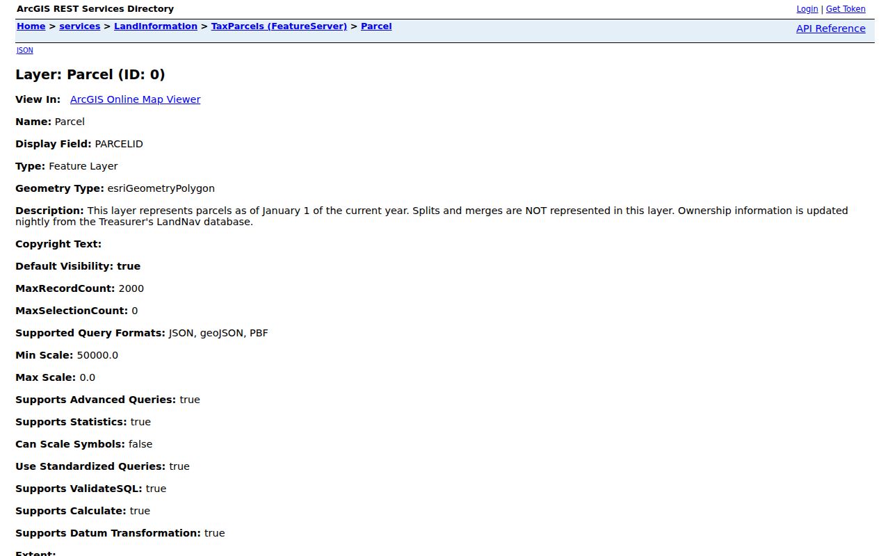
The surrounding shapes turn a single address into a bounded block search. They still identify parcels and listed owners, not every one of your Sheboygan neighbors.
Note: Save the parcel ID, municipality, tax year, and access date before comparing any owner fields.
Map Sheboygan Neighbors Carefully
A compact process keeps the inquiry tied to the immediate area. It also makes errors easier to spot. Start with one verified address, then move only to lots that actually touch or face its block. When the inquiry expands to a whole named road, use the Sheboygan street directory workflow instead.
- Enter the exact address in the county or city geospatial hub. Confirm that the result says City of Sheboygan in the municipality field.
- Record the parcel ID and site address. Click the lots on each side, across the road, and behind the starting parcel.
- Compare each listed owner with the separate postal address. A matching address may support owner occupancy, but it does not name other occupants.
- Open the tax portal only for the parcels that need confirmation. Keep the tax year and result date with each note.
- Use the city district and association pages for community contacts. Do not turn an officer or association contact into a household claim.
This creates a clear chain: address to mapped parcel, surrounding lots, owner fields, then public civic context. If a parcel is undeveloped or lacks an address, county guidance says to use the parcel ID or zoom manually. That exception is common enough to check before assuming a blank search means the land is missing.
Sheboygan Neighborhood Directory
City records add a community layer that parcel data cannot. The City Neighborhood Associations page describes partnerships among residents, schools, businesses, nonprofits, faith groups, Sheboygan Neighborhood Pride, police, and the city. Its public contact route is useful for meeting schedules and area questions. Research found no public membership roster, so an association name cannot establish who lives inside its boundary.
City association support
Use the city program page for neighborhood resources and the public contact path. City contact: 920-459-3377.
Neighborhood Pride directory
The official association directory provides recognized names, boundary descriptions, dates, and listed public contacts.
Neighborhood district map
The city district map accepts an address and links the place to district and officer information.
These sources answer “which civic area covers this address?” They do not answer “who lives in each home?” Use association contacts to learn about a meeting, project, or boundary. For household history, switch to dated directories, deeds, newspapers, and library records.
The city association page shows how Sheboygan supports resident groups and their public contact routes.
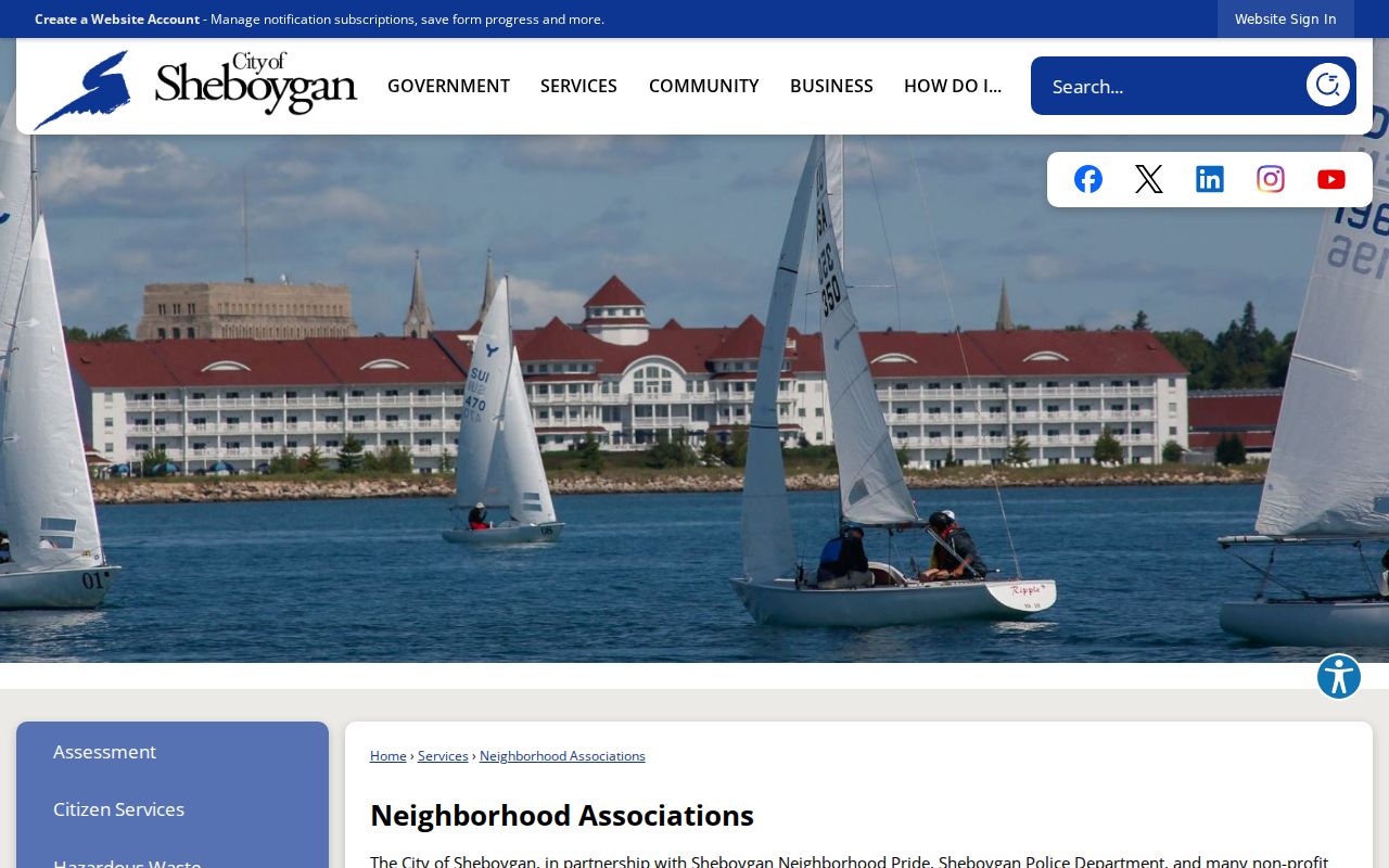
This official page supplies civic context for neighbors without presenting an address-based membership list.
How Sheboygan Areas Took Shape
Sheboygan’s official neighborhood list is recent civic history layered over much older streets. The research found recognition dates running from Gateway in 2010 through Cleveland Park in 2024, with an End Park and North Railway note for 2026. Other locally named areas include Ellis Historic, Historic Grant, Kuehne Park, Franklin Park, James Madison-Veterans Park, and Farnsworth. A recognized date marks the civic organization, not the year homes were built or the year residents arrived.
| Local label | Use it for |
|---|---|
| Association boundary | Public meetings, projects, contacts, and community identity |
| GIS municipality | Which local government covers a parcel |
| Historic survey area | Architecture and development context |
| Postal city and ZIP | Mail delivery, not legal city limits |
Do not force these layers to match. A parcel may sit in a named neighborhood, a police district, a historic survey area, and a postal zone with different outlines. The city transparency material reports 75 neighborhoods with assigned officers. That count is city-service context and should not be read as 75 formal associations.
Use the Neighborhood Pride boundary directory to check the current description and recognition date for a named area.
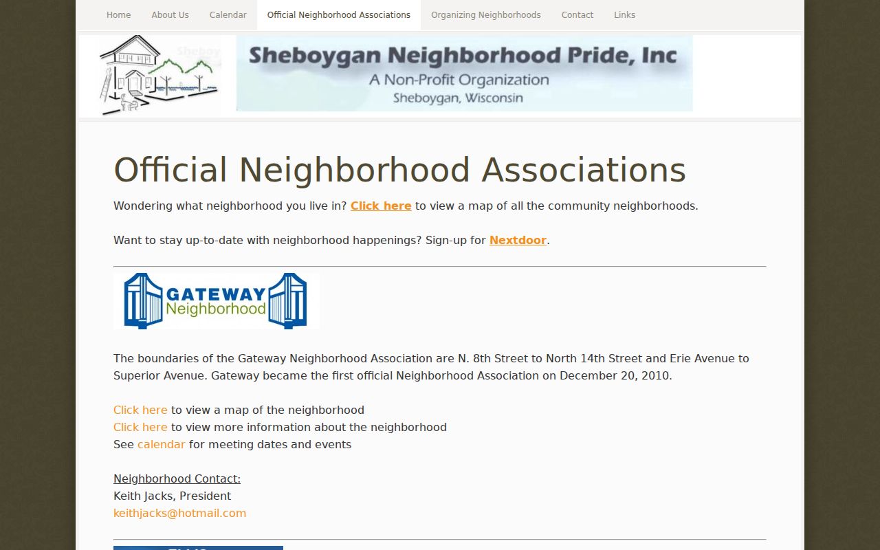
The directory helps tie an address to a civic area, but parcel GIS remains the source for lot geometry and municipality.
Note: Check the source date because Sheboygan neighborhood names, recognition, and service districts can change.
Read Sheboygan Owner Fields
Three address terms prevent most false matches. A parcel is the mapped unit of land. A situs address is the property’s physical location. A mailing address is where tax correspondence goes. The same text in the last two fields can support a cautious owner-occupancy inference, but it never proves who else lives there or whether the owner was present on the day of the search.
- Parcel ID
- The county identifier used to join map, tax, and land records.
- Municipality
- The city, village, or town government tied to the mapped parcel.
- Site address
- The street location assigned to the land or structure.
- Postal address
- The destination used for owner tax mail, which may be elsewhere.
The Land Records and Tax Web Portal can be searched with parcel number, last name, first name, or house number. Its notice says legal descriptions are abbreviated and tax bills reach back at least ten years. Use a recorded deed for the complete legal description. For an address with several units, the parcel result may cover the whole building and still say nothing about each unit’s residents.
Sheboygan Voter Address Limits
Wisconsin MyVote offers distinct name and address routes. The name route asks for first name, last name, and birth date, then may show voter status, name, and address. The address route asks for street address, city, and ZIP, with an optional unit, and returns polling place, hours, directions, and ballot or election details. That second route describes election geography for the supplied place. It is not a list of all Sheboygan neighbors at the address.
Wisconsin allows access to nonprotected voter-list data by written request, but excludes birth dates, operator-license and Social Security numbers, confidential-elector addresses, and accommodation indicators. Poll lists may be requested from a municipal or county clerk at reproduction cost. A narrow ward, election, date, and field request is more useful than asking a clerk to assemble a block profile.
Protected addresses. Wisconsin Safe at Home supplies eligible participants a substitute address. Never use other records to uncover an address withheld for safety.
Better Sheboygan Block Evidence
Official sources are slower to combine because each has a defined purpose. That separation is useful. Commercial neighbor-search products may merge stale address, phone, family, and ownership data without showing when each fact was collected. County and city sources expose the custodian, field labels, and limits, making it possible to distinguish a tax owner from a voter result or neighborhood contact.
| Method | Strength | Main caution |
|---|---|---|
| Official parcel and tax rolls | Dated land and ownership fields | Do not equate ownership with occupancy |
| Official election tools | Registration or polling purpose | Protected data and nonmatches have many causes |
| Community directories | Boundaries and public civic contacts | No public membership roster was found |
| Commercial merged reports | Convenient category-level leads | Sources, dates, and identity matches may be unclear |
For a current block question, record what the official field actually says. For a past block, Mead Public Library’s city directories, phonebooks, newspapers, census film, and maps can create dated snapshots. Neither path supports publishing a private household dossier.
Protect Your Sheboygan Neighbors
Public records leave deliberate gaps. Parcel systems usually name owners, not every resident. MyVote shields protected fields. Vital records are confidential under Wisconsin law. Juvenile, sealed, and expunged material has separate limits. Utility accounts, delivery details, and private association membership were not identified as public resident rolls. A blank field or no-match can reflect source scope, spelling, time, or a safety program. It does not justify searching for a hidden address elsewhere.
Use block records for civic curiosity, family or neighborhood history, meeting nearby associations, checking a parcel before a purchase, or reconnecting through lawful public channels. Confirm any important point with the office that keeps the original record. Wisconsin public-records guidance also allows custodians to redact protected material and balance access against privacy.
Lawful use. Never use Sheboygan neighbor records to watch, intimidate, stalk, or harm someone. Wisconsin’s stalking law is Wis. Stat. §940.32.
When an online portal fails, call the relevant custodian with a parcel ID, address, date range, and record type. County GIS handles parcel questions, the City Clerk handles municipal records, election clerks handle voter material, and Mead or the historical research center can help with older blocks. A narrow request protects privacy and gives staff a record they can actually locate.